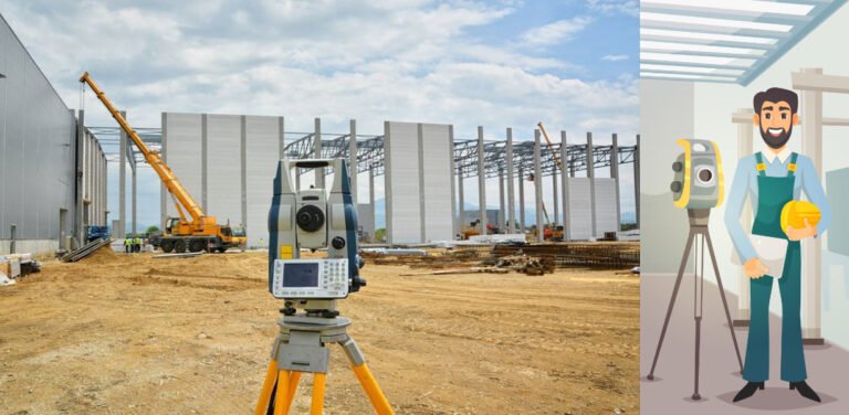
Constructing a little house or a high building is greatly dependent on measurements. This is where surveying techniques come into the picture. Surveying is the very base upon which construction activity stands fruitful in placing everything at the right position, right height, and at specified dimensions. Wrong surveys can bring structural instability, rework at high costs, and even court cases. This paper discusses different surveying techniques and how they help achieve construction accuracy.
Construction Key for Surveying Techniques:
- Leveling: This involves determining the difference in elevation between two points. It is very important in setting up the base, ensuring proper drainage, and landscaping. The application of digital levels and laser levels ensures more accuracy and speed than the traditional spirit levels.
- Angle Measurement: The measurement of angles is done by theodolites, total stations, or even simpler tools such as protractors for setting precise positions and directions. This plays a vital role in marking the corners of buildings, aligning walls, and locating curves on roads.
- Distance Measurement: The age-old methods using tapes and chains employed for measuring distances gave way to Electronic Distance Measurement (EDM) instruments and laser scanners. These yield high precision distance readings over long baselines and levels at a fast clip.
- Global Navigation Satellite Systems (GNSS): Whereas GPS, GLONASS, and Galileo are the technologies through which the concept of GNSS exists; technology is used when conducting geodetic surveys. They provide accurate positioning anywhere on Earth, a function highly valuable when dealing with large projects, especially in mapping and computing earthworks.
- 3D Laser Scanning: It is an advanced method that provides a very detailed 3D point cloud of the existing environment. Very useful for the survey in the form of as-built, integration with BIM, and any complicated structural analysis.
- Drone Surveying (Photogrammetry): Aerial images captured by drones with high-resolution cameras will be processed further to derive 3D models and orthomosaics with centimeter-level accuracy. Especially applicable to large sites, areas not easily accessible, and rapid progress monitoring.
Improving Survey Accuracy:
There are several other measures, which can help in improving the accuracy of a survey:
- Proper Instrument Calibration: If surveying equipment is well calibrated, readings will be reliable.
- Skilled Surveyors: The skills of an experienced surveyor will entail understanding how different approaches work and where possible sources of error might arise.
- Environmental Considerations: The measurements are affected by the weather, i.e., temperature, humidity, and atmospheric pressure, and such effects have to be considered.
- Redundant Measurements: Samples are generally redone so as to find disparities and rectify them.
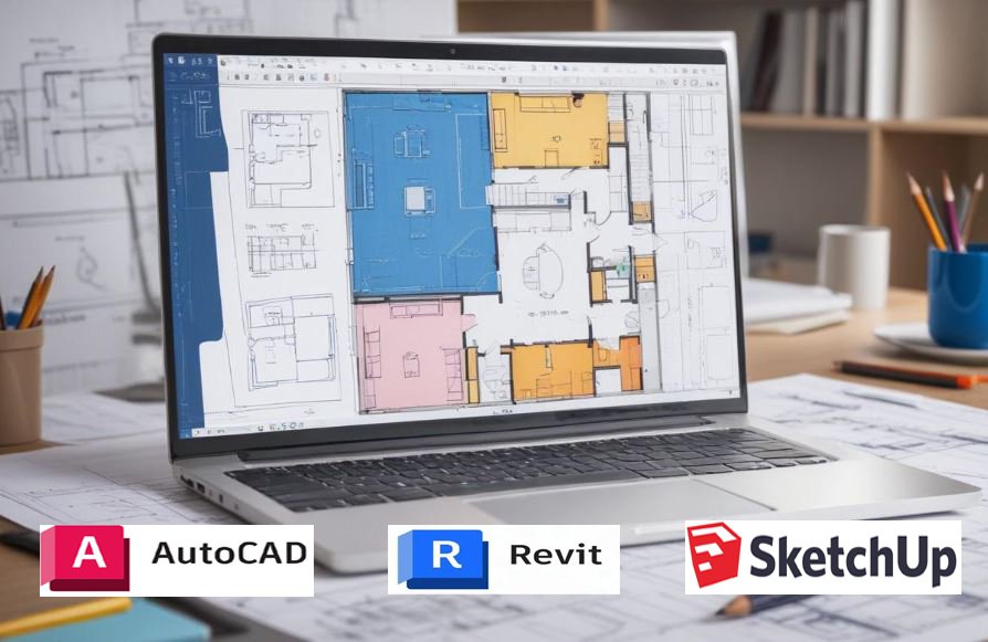
- Data Processing and Analysis: Utilization of special software for survey data contributes to labor saving in information processing and reduces the probability of human error.
Benefits of Accurate Surveying:
- Maintained Instrument Calibration: Calibration of surveying equipment should be done at regular intervals for proper readings.
- Surveyors of Skill: Only a skillful surveyor can empower and manipulate information using different sources and probably predict the mistakes likely to surface.
- Environmental Conditions: The measurement will also depend on environmental conditions such as temperature, humidity, and pressure.
- Take Several Readings: The same measurements must be made over and over again and compared to rectify any disparity that is found.
- Data Processing and Analysis: The utilization of special software for data processing accomplishes this with high accuracy in survey results as well as minimizing a human mistake.
FAQ:
Q. Which type of surveying is most accurate?
A: Surveyors play a vital role in checking the as-built construction against the BIM model, and stakeout construction points from the design model. They can also utilize the model in the layout of engineering fields that are difficult to stake out using conventional methods.
Q: How often should surveying equipment be calibrated?
A: Calibration frequency depends on the type of equipment and its usage. It’s generally recommended to calibrate annually, or more frequently for high-precision instruments.
Q: What is the role of surveying in BIM?
A: Surveying provides spatially accurate data on which to base BIM models. This enables clash detection and ensures accurate quantity takeoffs and effective project management.
Q: How can I choose the right surveying technique for my project?
A: Consider factors like project size, budget, required accuracy, and site accessibility when selecting a surveying technique. Consulting with a qualified surveyor is essential.
Q: What is the difference between a surveyor and a civil engineer?
A: Both professions deal with land and construction, but in view of the fact that engineers consider the actual construction, maintenance, and designing of infrastructure, surveyors particularly concentrate on accurate measurement and mapping.
Read More: The Importance of Accurate Drafting in Civil Engineering
By using appropriate surveying techniques and giving due respect to accuracy, construction works could be completed effectively, safely, and within the budget. Empowering quantity surveyors and purchasing sophisticated equipment is a step in the right direction for a successful project.

